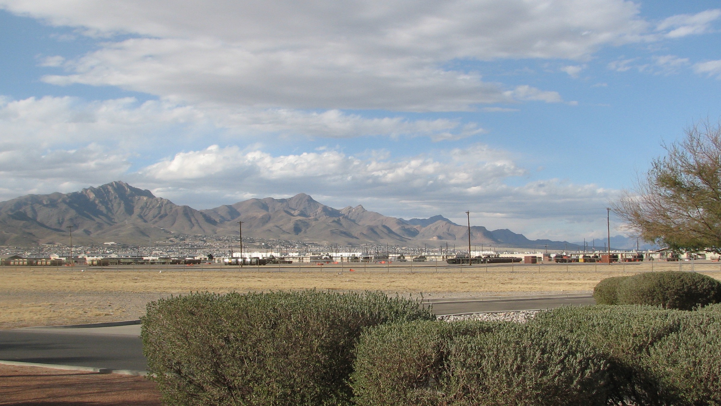
The gate is only the beginning
Fort Bliss is unusually large. A route that looks good to Buffalo Soldier Gate may still leave a substantial on-post drive to the actual worksite.
 Free match
Army installation guide · El Paso, Texas
Northeast can shorten the drive. Far East and Horizon can expand the newer-home search. Central keeps more of El Paso within reach. Westside and Northwest put the Franklin Mountains into the commute. None of those answers is universally correct—and the gate, worksite, and reporting time can flip the math.
How this worksite changes the search
Measured routes and comparable public data give us a disciplined starting point. Your real address, gate, reporting time, and current housing options still get the final word. See exactly how the model works.
Fort Bliss is unusually large. A route that looks good to Buffalo Soldier Gate may still leave a substantial on-post drive to the actual worksite.
Westside and Northwest choices require a mountain crossing or a route around the range. That can be a worthwhile trade—but it belongs in the decision from the start.
Far East, Eastlake, and Horizon can expand newer-home choices while adding a longer and more traffic-sensitive Fort Bliss commute. Let that drive earn its keep.
Fort Bliss match
We already have the worksite. You tell us how you feel about the drive, the house, the errands, and the daily-life tradeoffs nobody can answer for you.
Free. No paywall. Enter your email at the end to see where we’d start—and why.
First comparisons
A north-of-post area with direct approaches toward Fort Bliss and established neighborhood choices.
A farther-north comparison with newer subdivision growth and access toward Loop 375.
A central-city area with older housing, established street grids, and access to more of El Paso beyond the installation.
An east-central comparison near the airport, major retail corridors, and several approaches toward post.
An established East El Paso area with broad daily services and a longer east-to-post route.
A large newer-growth comparison where Loop 375 and Spur 601 can matter more than mileage suggests.
A southeastern growth-area comparison with newer housing options and a substantial drive back toward Fort Bliss.
A Lower Valley area with a distinct mix of established and developing areas southeast of central El Paso.
A Westside area where the Franklin Mountains become part of the Fort Bliss commute.
A Northwest comparison with planned-community growth and a deliberate mountain-crossing trade.
A New Mexico comparison for households intentionally weighing the state line, Westside access, and a longer Fort Bliss trip.
These are places to investigate, not endorsements or promises. Once a real property enters the chat, check the price, availability, route, condition, utilities, HOA obligations, and every other detail that can change the answer.
Before you search
Start with Northeast/North Hills, Central/Five Points, Cielo Vista/East-Central, and East El Paso. Add Far Northeast, Far East, Horizon, Socorro, Westside, Northwest, or Santa Teresa when their housing or regional access gives you a specific reason to accept the different route.
The model uses Buffalo Soldier Gate as one reproducible reference because it has a 24/7 Visitor Control Center. Your practical route may favor Cassidy, Chaffee, Silvestre Reyes, or another currently available gate depending on your address, access, reporting time, and on-base destination.
No. It identifies a geographic starting point using consistent evidence and no-traffic route snapshots. Check current inventory, price, taxes, utilities, HOA terms, property condition, and the actual route at your expected reporting and release times before committing.
Before you start shopping
These free tools can help you pressure-test the financing side before a listing starts making decisions for you.