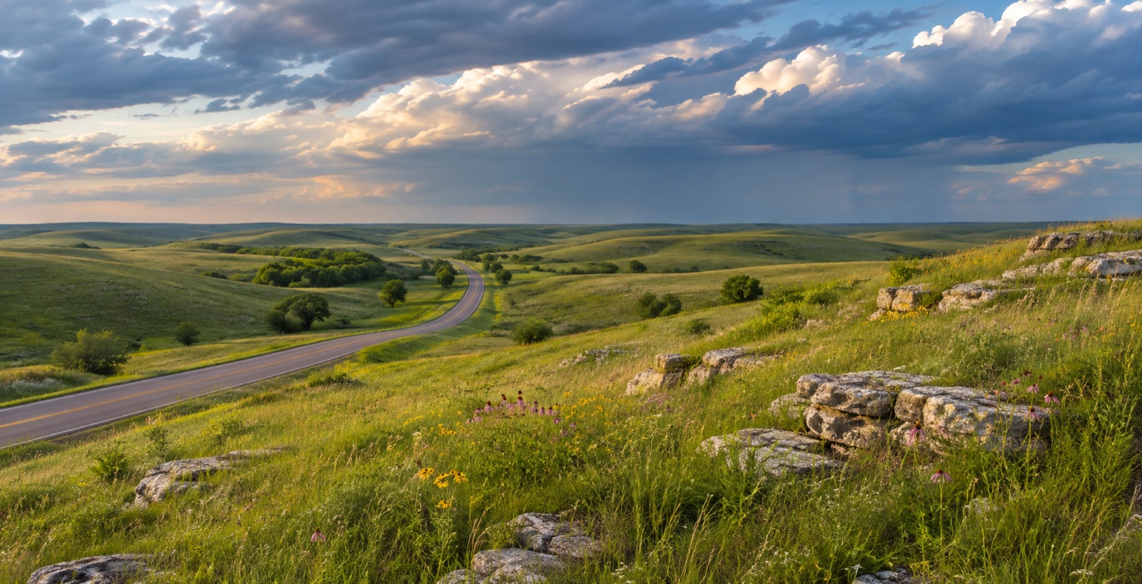
The gate points toward a different city
Henry Gate and the southern approaches favor Junction City and I-70. Ogden Gate points toward Manhattan and K-18. “Fort Riley commute” is not one route.
 Free match
Army installation guide · Flint Hills, Kansas
Junction City and Grandview Plaza shorten the southern approach. Ogden points straight toward the east gate. Manhattan adds a bigger daily-life map while putting K-18 into the workweek. Milford, Wamego, Chapman, and Abilene can make sense for a specific household reason—but none of them is secretly “just outside post.” Start with the gate direction. Then make the rest of the choice earn its keep.
How this worksite changes the search
Measured routes and comparable public data give us a disciplined starting point. Your real address, gate, reporting time, and current housing options still get the final word. See exactly how the model works.
Henry Gate and the southern approaches favor Junction City and I-70. Ogden Gate points toward Manhattan and K-18. “Fort Riley commute” is not one route.
They are the two primary regional city searches, but they do not offer the same daily geography, housing patterns, or drive. Compare the life attached to the commute—not only the minutes.
Milford, Wamego, Chapman, Abilene, and the rural edges may offer a specific setting or household compromise. Weather, limited corridors, services, utilities, and distance still get a vote.
Fort Riley match
We already have the worksite. You tell us how you feel about the drive, the house, the errands, and the daily-life tradeoffs nobody can answer for you.
Free. No paywall. Enter your email at the end to see where we’d start—and why.
First comparisons
A small, close-to-post comparison between Junction City and the Henry Gate approach.
A close full-service city area with established housing and direct approaches toward the installation.
A Junction City edge area with newer development pockets, more distance from I-70, and access toward US-77.
A small close-to-Ogden-Gate area positioned between Fort Riley and Manhattan.
A west-Manhattan area that shortens the K-18 approach while keeping Manhattan services in the daily map.
A central-city comparison with older housing, a connected street grid, and access to more of Manhattan beyond the base commute.
A north-Manhattan comparison with suburban and edge-of-city housing choices farther from K-18.
An east-of-Manhattan growth-area comparison for households deliberately prioritizing that side of the regional map.
A distinct small-city comparison east of Manhattan with its own daily services and a long Fort Riley trip.
A small-town and rural-edge comparison northwest of Junction City near Milford Lake.
A small-city comparison west of Junction City along the I-70 corridor.
A far-west regional comparison for households with a specific Abilene-area reason to accept the Fort Riley commute.
These are places to investigate, not endorsements or promises. Once a real property enters the chat, check the price, availability, route, condition, utilities, HOA obligations, and every other detail that can change the answer.
Before you search
Start with Grandview Plaza, central and northwest Junction City, Ogden, and west or central Manhattan. Add north Manhattan, Milford, St. George, Wamego, Chapman, or Abilene when another worksite, housing pattern, or regional priority gives you a specific reason to accept the different route.
The model compares reproducible routes to Henry Gate/Visitor Control Center and Ogden Gate and retains the faster snapshot for each broad area. Fort Riley also operates other gates whose hours and availability can change. Always route the actual address to the gate you can use and the worksite where you report.
No. It uses no-traffic route snapshots. Test the actual address at the expected reporting and release times, and check current construction, traffic incidents, weather, gate status, and on-post travel before committing.
Before you start shopping
These free tools can help you pressure-test the financing side before a listing starts making decisions for you.