← All duty stations

Joint Base installation guide · Goose Creek and Charleston Lowcountry, South Carolina

The Weapons Station is in Goose Creek. “Charleston” can still be a long way home.

Goose Creek, Hanahan, Park Circle, Ladson, Summerville, and Moncks Corner live on the useful side of this map for very different reasons. The peninsula, Mount Pleasant, and the islands offer another kind of life—and a much more complicated trip back to Red Bank Road. This match makes that trade visible before a charming address starts making the decision for you.

Market evidence reviewed See this market’s route table and sources

How this worksite changes the search

Build the map around the life you will actually live.

Measured routes and comparable public data give us a disciplined starting point. Your real address, gate, reporting time, and current housing options still get the final word. See exactly how the model works.

One joint base. Two different workdays.

The Air Base is in North Charleston near the airport. The Weapons Station is roughly ten miles away in the Goose Creek area. A housing choice that works beautifully for one can create a very different trip to the other.

The water is not background scenery

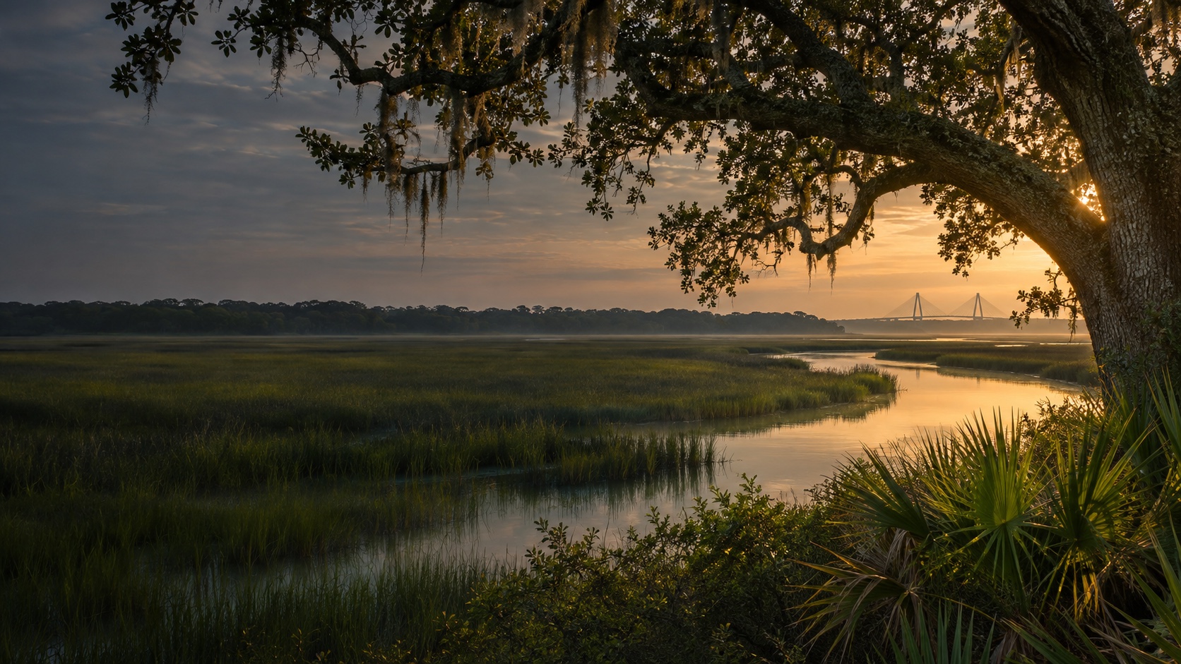
Rivers, marshes, bridges, and limited crossings shape the Charleston map. I-26 and I-526 matter, but so do the local roads that get you onto—or off—those corridors.

Lowcountry due diligence is property-specific

Flood zone, elevation, drainage, wind and homeowners insurance, utilities, HOA obligations, termites, and property condition cannot be safely assigned to a whole neighborhood. Check the actual address.

Joint Base Charleston / Lindsey Graham — Weapons Station match

Where should your search begin?

We already have the worksite. You tell us how you feel about the drive, the house, the errands, and the daily-life tradeoffs nobody can answer for you.

Free. No paywall. Enter your email at the end to see where we’d start—and why.

Your prioritiesStart

First comparisons

Places worth putting on your map.

North Charleston / Dorchester Road

A west North Charleston area oriented toward Dorchester Road, Ashley Phosphate Road, and Air Base access.

Park Circle / Olde North Charleston

An established North Charleston area with a distinct town-center feel and access to the Rivers Avenue side of the region.

Hanahan

A compact city between North Charleston and Goose Creek with practical reach toward both worksite corridors.

Goose Creek / Menriv Park

A broad Berkeley County area closely tied to the Weapons Station and the north side of the metro.

Ladson

A suburban area west of Goose Creek with access to I-26, US-78, and growing everyday services.

Summerville

A separate town-center area with extensive services, established neighborhoods, and a deliberate regional commute.

Nexton / Cane Bay

A newer-growth Berkeley County comparison north of Summerville with a planned-suburban daily map.

Moncks Corner

A farther-north Berkeley County town comparison with more space possibilities and a long workday relationship to Charleston.

Charleston Peninsula

The region’s urban historic core, with a highly distinct walkability, housing, parking, and commute trade.

West Ashley

A broad west-of-the-Ashley area with established neighborhoods, major services, and a more direct relationship to the Air Base side.

James Island

An island-oriented residential area south of the peninsula with a distinct coastal daily life and limited bridges off-island.

Mount Pleasant

A large east-of-the-Cooper area with extensive services and a bridge-dependent commute to both campuses.

Daniel Island / Cainhoy

A master-planned and growing east-side comparison near I-526, positioned between city life and Berkeley County growth.

Johns Island

A lower-density island comparison with rural pockets, new development, and a long constrained route toward the installations.

These are places to investigate, not endorsements or promises. Once a real property enters the chat, check the price, availability, route, condition, utilities, HOA obligations, and every other detail that can change the answer.

Before you search

The questions we’d want answered first.

What areas should I compare first near the two Charleston campuses?

For the Air Base, begin with North Charleston, West Ashley, Park Circle, Hanahan, Ladson, or Summerville. For the Weapons Station, begin with Goose Creek, Hanahan, Park Circle, Ladson, Nexton / Cane Bay, or Moncks Corner. Add the peninsula, James Island, Mount Pleasant, Daniel Island, or Johns Island when the off-duty life is worth the bridge or regional commute.

Does the match include live Charleston traffic or bridge delays?

No. It uses reproducible no-traffic route snapshots. Test the actual address during reporting and release times, check current SCDOT conditions, confirm the authorized gate and its current hours, and include the remaining on-base drive before committing.

Why does the site still say Joint Base Charleston?

The installation was officially renamed Joint Base Lindsey Graham in August 2026. Joint Base Charleston remains in the page labels and URLs because it is still the name many relocating households, orders, searches, and local references use.

Before you start shopping

Put real numbers beside the map.

These free tools can help you pressure-test the financing side before a listing starts making decisions for you.