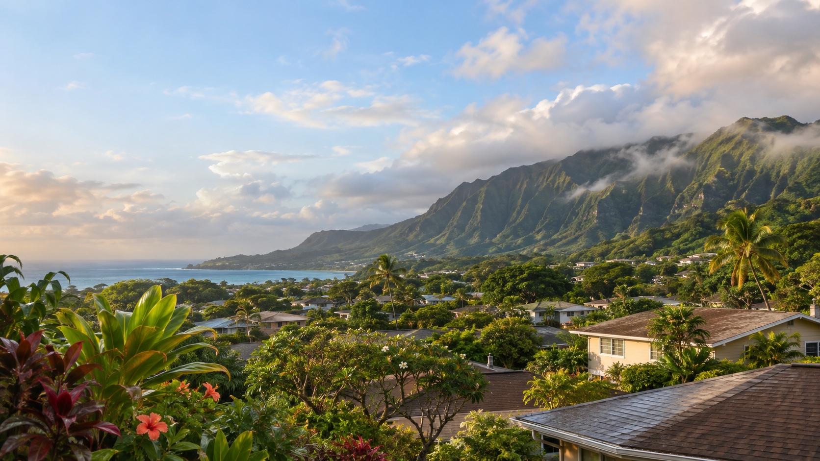
One island. Three commute maps.
Schofield and Wheeler sit north-central. Fort Shafter sits on the Honolulu side. MCBH sits Windward. H-1, H-2, H-3, the Pali, and the Likelike do not care how close two points look on a map.
 Free match
Marine Corps installation guide · Windward Oahu, Hawaii
Kailua and Kaneohe keep the base on the same side of the Koʻolau. Ahuimanu moves north toward H-3. Waimanalo moves south and around. Aiea, Salt Lake, Kaimuki, Mililani, and the west side ask H-3, the Pali, the Likelike, or a longer coastal route to behave. They often do. Until they very much do not. Build the search around the main gate, the second worksite, and the road you are willing to depend on.
How this worksite changes the search
Measured routes and comparable public data give us a disciplined starting point. Your real address, gate, reporting time, and current housing options still get the final word. See exactly how the model works.
Schofield and Wheeler sit north-central. Fort Shafter sits on the Honolulu side. MCBH sits Windward. H-1, H-2, H-3, the Pali, and the Likelike do not care how close two points look on a map.
The model uses consistent road-network snapshots. It cannot see a tunnel incident, H-1 backup, gate queue, weather, parking, or the last mile to the building where you report.
Mililani, Aiea, Salt Lake, Kaneohe, and other central comparisons can divide the island. They do not make two reporting-time drives equally easy. Test both.
Marine Corps Base Hawaii match
We already have the worksite. You tell us how you feel about the drive, the house, the errands, and the daily-life tradeoffs nobody can answer for you.
Free. No paywall. Enter your email at the end to see where we’d start—and why.
First comparisons
A close north-central area beside Schofield and Wheeler with Wahiawa services and direct access toward H-2.
A central-island suburban area south of Schofield with local services and a direct relationship to H-2.
A hillside central-Oahu area above H-2 with a short regional relationship to Schofield and Wheeler.
A central-west area near the H-2 and H-1 split, positioned between the north-side Army posts and Honolulu.
An elevated central-west area above Waipahu with access toward H-1, H-2, and Kunia Road.
A central Oahu area near the H-1, H-2, and H-3 network with broad services and three-direction compromise potential.
A close-in Honolulu area beside Fort Shafter, Tripler, airport-area roads, and the H-1/H-3 connections.
A close Honolulu area around Fort Shafter and Kalihi with direct city access and a dense local street map.
An urban Honolulu area with dense housing, city services, and a northbound relationship to Fort Shafter.
An established east-Honolulu area with city access and routes toward H-1, the Pali, and Windward Oahu.
A major west-side area with newer housing pockets and a commute governed by Fort Weaver Road and H-1.
A west Oahu city and hillside area with broad services, newer growth, and long corridor-dependent trips east or north.
A deliberate leeward-coast comparison beyond Kapolei with one primary road corridor back toward the three worksites.
A North Shore comparison beyond Wahiawa with a clearer relationship to Schofield than to Honolulu or Windward worksites.
A Windward coastal-town area near MCBH with Pali, H-3, and local roads shaping the rest of the island map.
A Windward town area near H-3, the Likelike, and MCBH with a direct cross-island relationship to Honolulu.
A Windward valley area north of Kaneohe with quick regional access toward H-3 and a distinct local-road relationship to MCBH.
A southeast Windward comparison below Kailua with a coastal and rural edge and a longer route to every installation gate.
A deliberate east-Honolulu fringe comparison with a long coastal and urban route back toward Fort Shafter, Schofield, or MCBH.
These are places to investigate, not endorsements or promises. Once a real property enters the chat, check the price, availability, route, condition, utilities, HOA obligations, and every other detail that can change the answer.
Before you search
Start with Kailua, Kaneohe, and Ahuimanu/Temple Valley. Add Waimanalo, Kaimuki/East Honolulu, Salt Lake/Moanalua, Aiea/Pearl City, Mililani, or west-side searches when another worksite or household priority earns the mountain crossing.
The model uses the Main Gate at the H-3 approach as the consistent route reference. Current credentials, gate operations, reporting time, queueing, parking, and your actual on-base destination still matter.
No. It uses no-traffic route snapshots. Test the actual address during the expected reporting and release windows, then check traffic incidents, construction, weather, gate status, queueing, parking, and on-base travel.
Start with Kaneohe, Ahuimanu/Temple Valley, Kailua, Salt Lake/Moanalua, Aiea/Pearl City, and Kaimuki/East Honolulu—then drive both real routes. H-3 can make a cross-island address workable without making it traffic incident-proof.
Before you start shopping
These free tools can help you pressure-test the financing side before a listing starts making decisions for you.