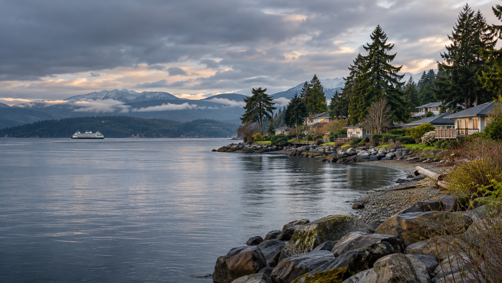
Bremerton / Charleston
A close urban area beside the Bremerton waterfront, PSNS, downtown services, and the Seattle ferry terminal.
East Bremerton / Manette
An established east-Bremerton area across the Port Washington Narrows with access toward PSNS, Silverdale, and local services.
Port Orchard
A south-Kitsap area across Sinclair Inlet from Bremerton with road and passenger-ferry relationships to the shipyard side.
McCormick Woods / South Kitsap
A lower-density south-Kitsap comparison west of Port Orchard with a longer northbound relationship to both Bremerton and Bangor.
Silverdale
A central-Kitsap area near SR-3 and regional shopping, positioned between the Bangor and Bremerton worksites.
Chico / Central Kitsap
A central-Kitsap residential area west of Dyes Inlet with road access toward both Silverdale and Bremerton.
Poulsbo
A north-Kitsap waterfront-town area near SR-3 and SR-305 with a stronger relationship to Bangor and Keyport than Bremerton.
Kingston / North Kitsap
A northeast-Kitsap area around the Edmonds ferry terminal with a long cross-peninsula trip toward Bangor or Bremerton.
Bainbridge Island
An island area with a Seattle ferry connection and a road link to Kitsap through SR-305 and the Agate Pass Bridge.
Gig Harbor
A deliberate south-Puget comparison beyond the Tacoma Narrows Bridge with a long northbound trip to the Kitsap installations.
Oak Harbor
The primary Whidbey Island city area between Ault Field and the Seaplane Base with the shortest regional relationship to NASWI.
Coupeville / Central Whidbey
A central-Whidbey area south of Oak Harbor with a smaller-town setting and a longer northbound drive to Ault Field.
North Whidbey / Dugualla
A lower-density north-Whidbey area between Oak Harbor and Deception Pass with short access toward Ault Field.
Anacortes / Fidalgo Island
An off-Whidbey coastal-city area reached through Deception Pass with a longer southbound route to Ault Field.
Mount Vernon / Burlington
A mainland Skagit Valley comparison east of Whidbey with broader regional services and a long two-lane and bridge-dependent trip to Ault Field.
Freeland / South Whidbey
A deliberate south-Whidbey comparison with ferry-oriented access toward Mukilteo and a long island drive north to NASWI.
Everett / Bayside
A close-in city area beside Naval Station Everett, downtown services, Port Gardner, and the north I-5 corridor.
Mukilteo
A southwest-Snohomish coastal area with access toward Everett, Boeing-area employment, and the Whidbey ferry terminal.
Marysville
A north-Snohomish area across the Snohomish River from Everett with I-5 and SR-529 routes toward the waterfront.
Lake Stevens
An east-Snohomish suburban area using US-2, the trestle, SR-9, or local roads to reach Everett.
Snohomish
A southeast-Snohomish town and lower-density comparison with US-2 and SR-9 relationships to Everett.
Lynnwood / Edmonds
A south-Snohomish comparison near I-5, regional transit, and the Edmonds ferry with a longer northbound drive to Everett.
Mill Creek / North Bothell
A suburban south-Snohomish area between I-5 and SR-9 with a northbound relationship to Naval Station Everett.
Arlington / Smokey Point
A north-Snohomish comparison beyond Marysville with I-5 and SR-9 routes south toward Everett.
These are places to investigate, not endorsements or promises. Once a real property enters the chat, check the price, availability, route, condition, utilities, HOA obligations, and every other detail that can change the answer.