Three worksites. Three different maps.
Gate 6 sits on the South Bay waterfront. North Island is reached through Coronado. Miramar sits north and inland. A useful housing search starts with the actual worksite—not the word “San Diego.”
 Free match
Navy installation guide · Coronado, South Bay, and central San Diego, California
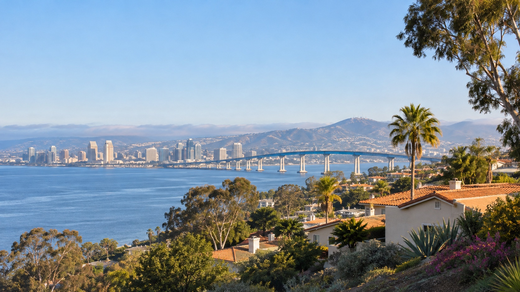
Coronado keeps Gate 1 close. Imperial Beach approaches from the Silver Strand. Downtown, Golden Hill, National City, Chula Vista, Point Loma, and the rest of San Diego usually ask the bridge to cooperate. That bridge can make a place look beautifully central right up until everybody needs it at once. Start with the side of the bay. Then price the space, cost, parking, and second commute into the same decision.
How this worksite changes the search
Measured routes and comparable public data give us a disciplined starting point. Your real address, gate, reporting time, and current housing options still get the final word. See exactly how the model works.
Gate 6 sits on the South Bay waterfront. North Island is reached through Coronado. Miramar sits north and inland. A useful housing search starts with the actual worksite—not the word “San Diego.”
The model measures consistent road-network snapshots. It cannot see a Tuesday crash, ship traffic, a train across Harbor Drive, a bridge backup, a gate queue, parking, or the last mile to the building or pier.
North Park, Mission Valley, Serra Mesa, Clairemont, and other central searches can divide the region. They do not make three reporting-time drives equally easy. Test every regular worksite.
Naval Base Coronado — NAS North Island match
We already have the worksite. You tell us how you feel about the drive, the house, the errands, and the daily-life tradeoffs nobody can answer for you.
Free. No paywall. Enter your email at the end to see where we’d start—and why.
First comparisons
A close-in urban area immediately north of Naval Base San Diego with trolley, freeway, rail, and port infrastructure in the daily map.
A South Bay city area just east of the 32nd Street base with I-5, I-805, trolley, and surface-street options.
A southeast-San Diego residential area between National City, Chula Vista, and the inland freeway network.
An established South Bay area west of I-805 with a direct regional relationship to I-5, National City, and the Silver Strand approaches.
A farther-east Chula Vista growth area with newer housing pockets and a long westbound relationship to the Navy waterfront.
A lower-density South Bay comparison between Chula Vista, National City, and the inland side of the regional freeway map.
A coastal South Bay area with a Silver Strand relationship to Coronado and a longer northbound trip toward 32nd Street or Miramar.
An island-city area next to NAS North Island with the bridge and Silver Strand as the only regional road exits.
A peninsula and coastal-city comparison west of downtown with an airport, harbor, and I-8 relationship in the broader map.
A dense central-city area near the waterfront, trolley, I-5, and Coronado Bridge approaches.
An older central-city area east of downtown with connected streets and access toward I-5, SR-94, and the Navy waterfront.
A central urban area north of Balboa Park with mixed housing and access toward I-805, SR-163, and I-8.
A central freeway-and-trolley corridor positioned near I-8, SR-163, and I-805.
A central-north San Diego area between I-5, I-805, SR-52, Mission Bay, and the Miramar employment corridor.
A central inland area near I-15, I-805, SR-163, and military housing communities.
A central employment and commercial-district comparison near SR-163, I-805, SR-52, and Miramar Road.
A large north-central San Diego area immediately north of MCAS Miramar with I-15, I-805, and local east-west corridors in play.
A hilly suburban area northeast of Miramar with an I-15 relationship and a more distant trip to the Navy waterfront.
An inland North County city comparison beyond the Miramar area with suburban and lower-density housing patterns.
An East County city area near I-8, SR-94, and trolley service with an inland approach toward central San Diego.
An inland suburban comparison near SR-52 and SR-67 with a clearer Miramar relationship than either waterfront base.
An East County city comparison near I-8 and SR-67 with a broad mix of housing and a long westbound relationship to the three worksites.
A north-central urban and employment-district area near I-5, I-805, SR-52, trolley service, and the western Miramar approaches.
A north-inland suburban area along the I-15 corridor beyond Mira Mesa and Scripps Ranch.
A coastal North County comparison near I-5 and SR-56 for households deliberately prioritizing the northwestern side of the regional map.
These are places to investigate, not endorsements or promises. Once a real property enters the chat, check the price, availability, route, condition, utilities, HOA obligations, and every other detail that can change the answer.
Before you search
Start with Coronado, Imperial Beach/South Bay, Downtown/East Village, Golden Hill/South Park, National City, west Chula Vista, Point Loma/Ocean Beach, and North Park/University Heights. Add Mission Valley, La Mesa, South Bay growth areas, or farther north searches only when another household priority earns the longer trip.
The model uses Gate 1 at Alameda Boulevard, beside the official Visitor Control Center. Current lane access, credentials, gate operations, and your on-base destination still matter. Always test the actual address to the gate and building where you report.
No. It uses no-traffic route snapshots. Test both available approaches when they are relevant, then check traffic incidents, construction, events, weather, gate status, queueing, parking, and on-base travel.
Start with Coronado, Downtown/East Village, Golden Hill/South Park, Barrio Logan, National City, Imperial Beach, and west Chula Vista—then measure both actual trips. The bridge may favor one direction while the exact pier, gate, schedule, or parking situation favors another.
Before you start shopping
These free tools can help you pressure-test the financing side before a listing starts making decisions for you.