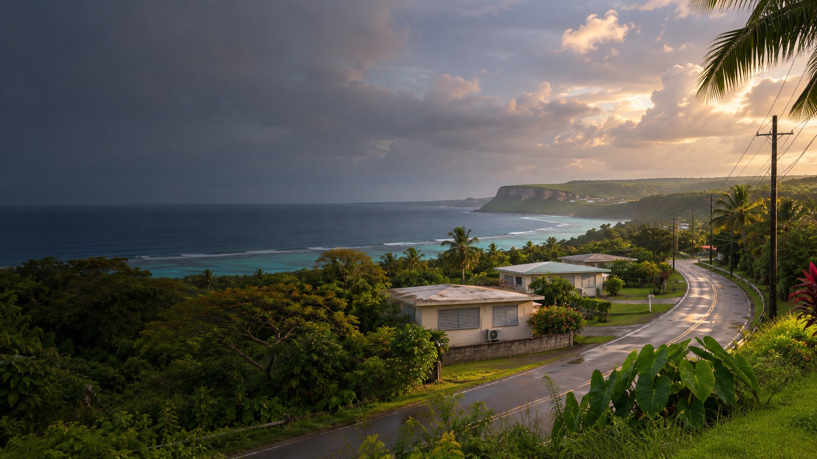
One island. Two completely different commutes.
Andersen sits at the north end. Naval Base Guam sits at the southwest end. A place that makes one workday easy can make the other a daily island crossing.
 Free match
Navy installation guide · Guam / Joint Region Marianas
Sånta Rita-Sumai, Hågat, Piti, and Asan keep the Navy side of the map practical. Hagåtña, Tamuning, Barrigada, Mangilao, and the north add services, housing choices, or another household worksite—with Route 1 collecting its fee in minutes. Start with the gate. Then pressure-test the home itself, because island resilience is part of the housing fit here.
How this worksite changes the search
Measured routes and comparable public data give us a disciplined starting point. Your real address, gate, reporting time, and current housing options still get the final word. See exactly how the model works.
Andersen sits at the north end. Naval Base Guam sits at the southwest end. A place that makes one workday easy can make the other a daily island crossing.
Route 1 is the island spine, and crashes, construction, tropical weather, gate queues, and reporting time can turn a modest distance into a much longer day.
Typhoon protection, backup power and water, drainage, corrosion, pests, utilities, internet, and lease terms are not side notes. They belong in the housing decision.
Naval Base Guam match
We already have the worksite. You tell us how you feel about the drive, the house, the errands, and the daily-life tradeoffs nobody can answer for you.
Free. No paywall. Enter your email at the end to see where we’d start—and why.
First comparisons
A north-island area wrapped around Andersen, with village housing and the shortest starting route to the air base.
A large north-central area with varied housing, broad daily services, and access toward Andersen and the island spine.
A central coastal and commercial area with apartments, condos, services, and a more balanced position between the bases.
A central-east area near the airport and major cross-island roads.
An east-central village area with university, medical, and residential pockets.
The capital-area comparison, combining Hagåtña with nearby hillside and central villages.
An inland central-south area with route options toward Hagåtña, the east side, and Naval Base Guam.
A west-central coastal and hillside area with direct Route 1 access toward Naval Base Guam.
A close-to-Navy area above Apra Harbor.
A southwest coastal-village area near Naval Base Guam.
A southeast and hillside area using Route 4 and cross-island roads.
A farther southeast comparison for households willing to trade more driving for a less central island setting.
These are places to investigate, not endorsements or promises. Once a real property enters the chat, check the price, availability, route, condition, utilities, HOA obligations, and every other detail that can change the answer.
Before you search
For Andersen, begin with Yigo and Dededo, then add Mangilao, Barrigada, or Tamuning when central services or a second destination matter. For Naval Base Guam, begin with Sånta Rita-Sumai, Hågat, Piti, and Asan, then compare the central and east-side villages if the rest of your life justifies the drive.
Because they sit at opposite ends of the useful housing map. The quiz preserves both gate references so a north-island win does not quietly become a south-island commute problem.
No. The routes are reproducible no-traffic snapshots. Test the actual address at reporting and release time, confirm the current authorized gate, and include security screening and the remaining on-base drive.
Guam is not covered by the same mainland ACS and EPA datasets used elsewhere. We use official Guam Census housing counts where available and leave unsupported dimensions neutral instead of making them up.
Before you start shopping
These free tools can help you pressure-test the financing side before a listing starts making decisions for you.